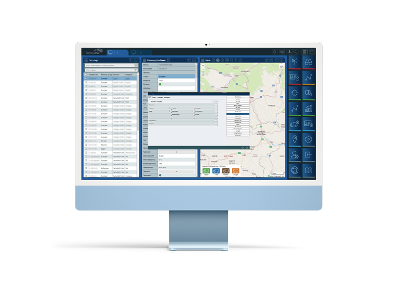
Tooltip-Designer für die Karte
There is no translation available.
Mit dem Tooltipdesigner in der Karte können Sie selbst entscheiden, welche wichtigen Daten Sie zuerst sehen wollen. Informationen über Fahrer, Fahrzeug oder Points of Interests (POIs) und vieles mehr können hier userbezogen angezeigt werden. Werden Touren in BlueLOGICO® angelegt oder über eine Schnittstelle vom Transportmanagementsystem übermittelt, werden auch Daten wie z.B. die nächste Station, die Zeit bis dahin und eventuelle Verspätungen angezeigt.
Additional features of BlueLOGICO®
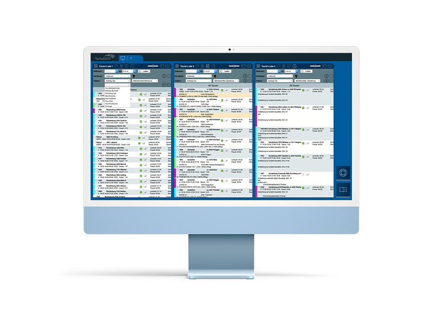
Tour lists
The "Tour Lists" module is divided into three individually configurable lists that can be sorted or filtered according to requirements to always have a complete overview. Tours can be imported via ...
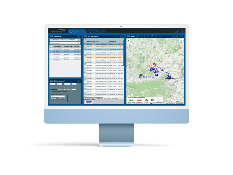
CO₂ emissions
TachoEASY enables interested parties to calculate CO₂ emissions for all journeys seamlessly. The calculation of CO₂ emissions is based on actual consumption in real-time.
B...
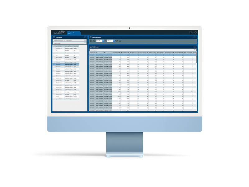
Live-Ortung
There is no translation available. Wo befindet sich die Flotte, wie ist die Restlenkzeit? BlueLOGICO informiert Sie annähernd live über den Zustand Ihrer Fahrzeugflotte. Sie sehen auf einen Blick,...
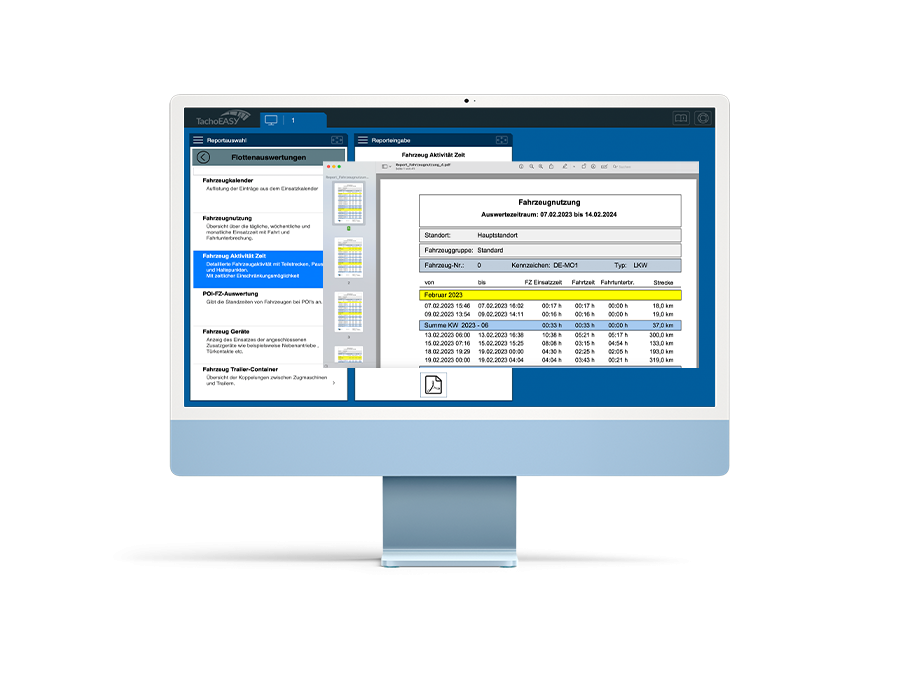
Fleet analysis
The fleet analysis include the following reports:
Vehicle Calendar: List of entries from the operational calendar.
Vehicle Usage: Overview of the daily operating times of selected vehicles incl...
